A visit to Cave Creek Ranch is a return to a quieter, simpler time in a spectacular canyon setting. The Ranch has been hosting guests for over 100 years, and has been a sanctuary for much of that time. The wildlife, while not tame, is not afraid of people. Some of the peacefulness comes from no cell service, no phones, no Wi-Fi, and no televisions in the rooms. The office does have Wi-Fi that extends to the front porch and main birding area, so you will not be cut off, just not bothered in your room.
All rooms have full kitchens and bathrooms, and the most common guest comments include “Magical”, “Paradise”, “Amazing”, and “Beautiful”. We hope to share this part of heaven on earth with you.
Our lodging options range from Meadowview Apt 1, a small apartment that sleeps 2, to the Ranch House that sleeps 8, with a variety of cabins and lodge apartments in between. All include private bathrooms and fully equipped kitchens. Your experience here will be a special time; away from the modern world, and free from the distractions of cell phones, TV and radio. Wi-Fi is available on the office porch.
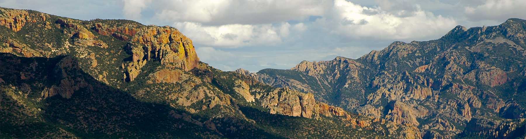
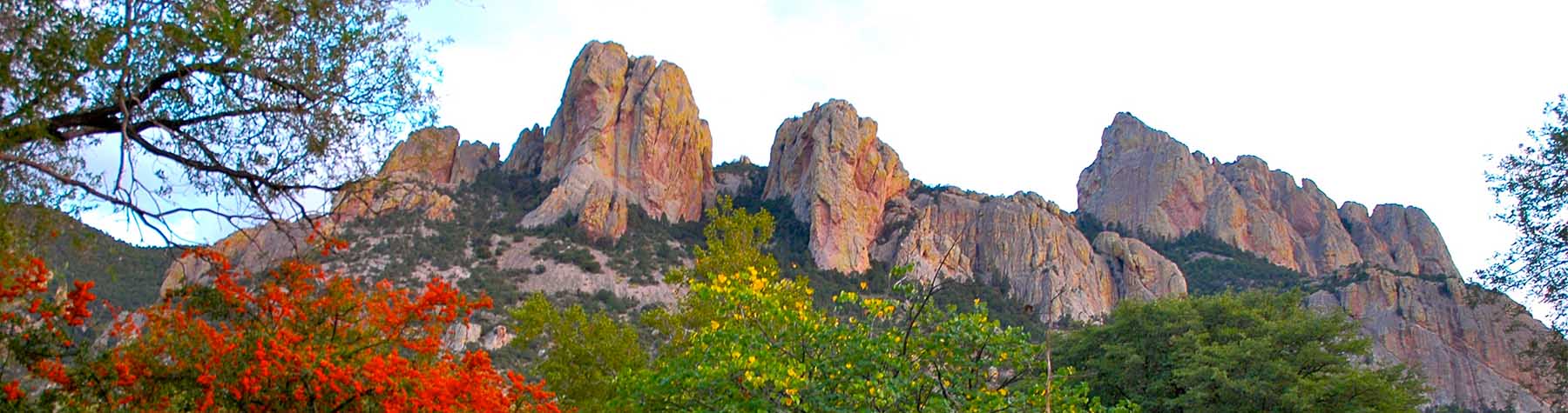
Not a birder? Cave Creek Ranch is ideal for retreats and reunions, as a base for hiking or exploring the Chiricahua Mountains, and for viewing spectacular Fall colors. It is also excellent as a base for people interested in butterflies, moths, dragonflies, bats, reptiles, wildflowers, and many other elements of flora and fauna.